An old street sign in Croft Lane.
Norma Explores Gloucestershire
Within this project I will be staying true to the 39 historic counties of England. These county boundaries were in common use from medieval times until the mid 1970s when 'administrative countries' became widely used to represent local councils administrative areas. If you're looking to see if we've visited a particular village and you can't see it listed on the list of settlements, it may now be in a different county to what you expect!
Friday, 28 June 2024
Oxpens • Fairford
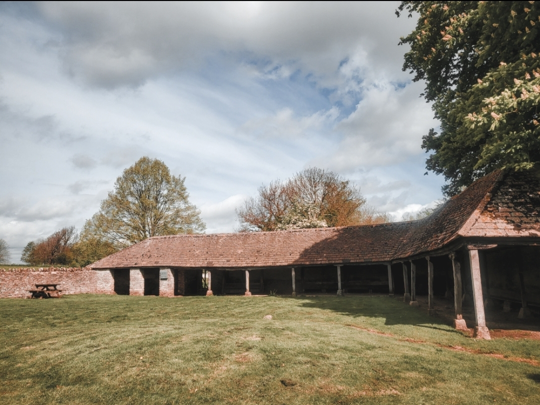
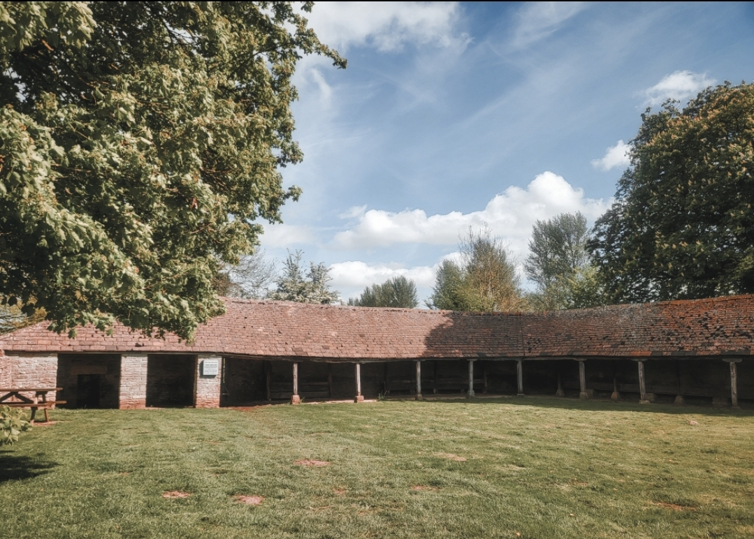
The old oxpens could be in the region of 300 years old if not older. There are references to animal enclosures here in the 17th centuries and they were certainly visible on maps in the 19th century.
The pens sheltered the oxen, which were used for ploughing; something that continued in Gloucestershire into the 1960s.
The site is now used as a picnic area. Sadly it doesn't seem to be listed, but it is cared for by the Ernest Cook Trust, who own the Estate the pens belong to.
///rankings.downturn.concluded
GRID REF:SP 14878 01332
Friday, 14 June 2024
Watermill • Fairford
There were once three mills belonging to Fairford Manor, one of which was on this site by the River Coln. The present building has original parts dating to the 17th century. A wing was added in 1827, and there were further alterations in the mid 1800s.
The last millers were recorded here up until the First World War. The last use of the machinery was in the early 1920s. Between the wars it was used as a store and fell derelict. In the 1950s it was converted into three dwellings and was awarded Grade II listing status in 1952.
The building features two rows of external dove holes under the eaves on the earliest part of the building. Two millstones are propped up against the building today to remind us of its working past...
///lunging.beanbag.candle
GRID REF: SP 15019 01300
Subscribe to:
Comments (Atom)


